Systems
The Wayfinders
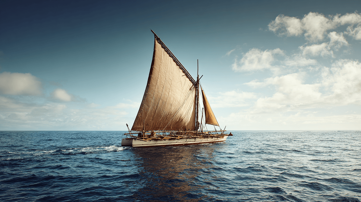
The navigators who read the sea
In 1976, the Hōkūleʻa sailed from Hawaii to Tahiti using only traditional Polynesian navigation — no instruments, no charts, no compass.
Western scholars had argued that Polynesian settlement was accidental: rafts drifting on currents, lucky landfalls. The Hōkūleʻa proved otherwise. Navigator Mau Piailug, one of the last trained wayfinders, guided the canoe across 2,500 miles of open ocean by reading stars, waves, birds, and clouds.
**The science:**
Wayfinding isn't mystical. It's pattern recognition applied to ocean and sky: - Star paths: specific stars rise and set over specific islands - Wave refraction: swells bend around landmasses before land is visible - Bird behavior: certain species fly toward land at dusk - Cloud formations: islands create distinctive weather
This knowledge, accumulated over 3,000 years of Pacific voyaging, nearly died when GPS made it unnecessary.
**The revival:**
After the Hōkūleʻa voyage, wayfinding entered Hawaiian schools. Not as history — as practice. Students learn to navigate by stars, to read the ocean, to understand their environment in ways that instruments can't replace.
**The future application:**
What happens when GPS satellites fail? When electronic systems go dark? Wayfinding is backup navigation for an uncertain future — and a different relationship with the environment than watching a screen.
The Polynesian Voyaging Society now trains navigators across the Pacific. They're not preserving the past. They're insuring the future.
Sources
- Lewis D. (1972). We, the Navigators: The Ancient Art of Landfinding in the Pacific
- Finney B. (1979). Hokule'a: The Way to Tahiti
- Gladwin T. (1970). East Is a Big Bird: Navigation and Logic on Puluwat Atoll
- Thompson N. (2019). Mau Piailug and the Polynesian Voyaging Society